There are currently four overnight spots, a shelter just outside of Pisgah, the Dort Shelter is just off the trail on the Western Side of Pisgah State Park, the Draper tent site after the Beal’s Trailhead outside of Pisgah, the Bailey Brook campsite off of Horatio Colony Preserve’s Ridgeline Trail and a tent site in Troy.
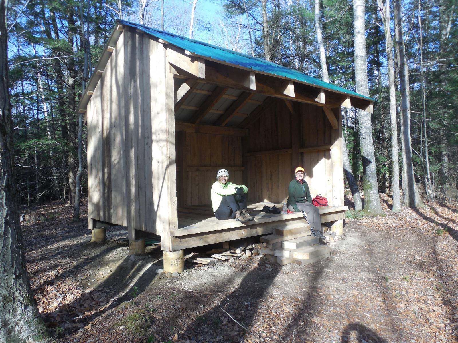
Dort Shelter
The Friends of Pisgah (FOP) have built an overnight shelter next to the Davis Hill Trail just outside the northwest boundary of the park. It is a standard Adirondack three-sided shelter and will hold 6 to 8 people. An outhouse is also on the site. The shelter is somewhat more than a mile from the Kilburn parking lot and about a twenty minute walk up the “Dort Trail”
Draper Campsite
The Draper camp site a short distance from the east side of Pisgah Park.
As you leave Pisgah Park at the Beals Road Trailhead, you will come upon a dirt road going in both directions. Take the right turn and continue past a house on the left and a pond on the right (source of water). Continue on this road, mostly level, with occasional wetlands on either side. You will enter a more wooded area, still fairly level and continue for about ¾ mile from the trailhead. Watch on the right hand side for the camp site entrance shown below. If you start downhill and pass a cemetery you have gone too far. Take a right and follow the signs for roughly 150 yards. Watch for an interesting cellar hole on the right as you make this turn. Several members of the Draper family who lived here are buried in the cemetery, including Sara Draper who lived to 101!
If you are coming from the east the campsite is roughly 1.5 miles from Old Swanzey Road and the last source of water (stream in the meadow just west of Old Swanzey Road). After crossing the meadow you bear left and proceed up a rocky stream bed to a cross road. At this point go right and follow the old road uphill. After a long (mostly) uphill, look for the cemetery on your right and the entrance to the campsite on your left as you top the hill after cemetery.
Troy Campsite
Near High Street in Troy
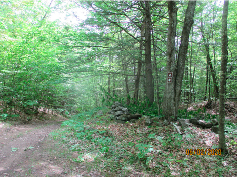
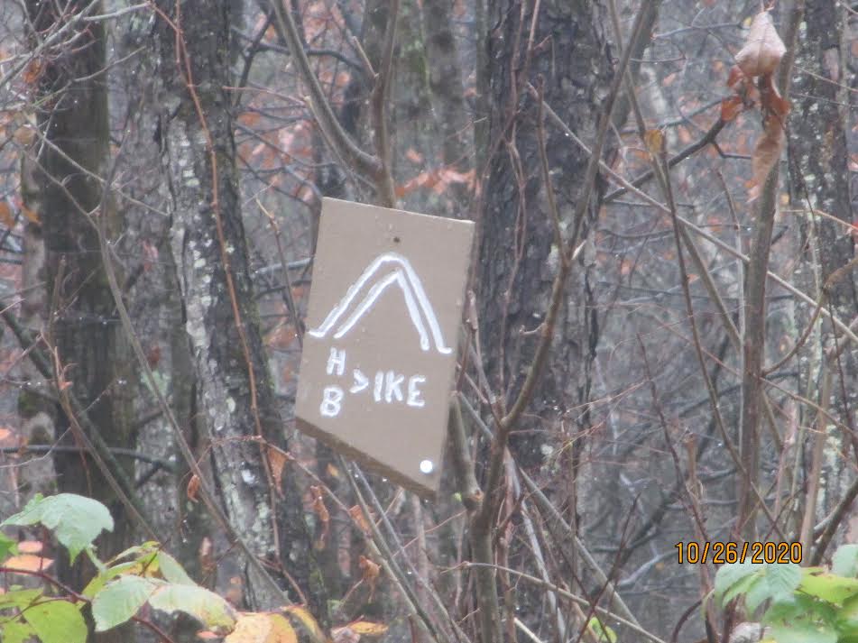
As you approach Troy from the north on the rail trail (coming from Keene) you will go under a bridge and see Troy Depot (old train station building) slightly off to your left. At this point there will be a road on your right running parallel to the rail line (Prospect St. no sign). Do a right u-turn and follow this road north (note tent symbol and arrow on the light pole). In one block take a left on High St. Shortly you will pass a green house on the left and at about ¼ mile a marker on the left (see picture). If you get to mailbox #40 you have gone too far. Cross the stone wall and enter the woods at this point (There are reflectors on the interior including the entrance.). Follow the signs to several camp sites, the first of these will have a split rail fence and bench. A privy is nearby, as well as two other tent sites nearer to the river (water source). In picking up the trail again upon leaving, go straight down High St. to the traffic circle/common and go straight along the south side of the common, taking a right turn on Route 12.
If you are following the trail from the east (Gap Mt.) on Route 12, go left as you enter the traffic circle/common, proceed along the south edge of the circle/common and go straight up High St. Look for Prospect St. coming from the left and follow the directions above on High St. In picking up the trail again when leaving, simply retrace in reverse the steps above for those coming from the north (Keene). Proceed down High St., right on Prospect and then a sharp north left u-turn unto the rail line.
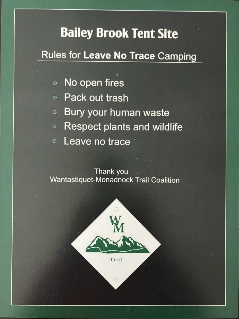
Bailey Brook Tent Site
Heading West, in the Horatio Colony Preserve on the Ridgeline Trail, it is 1.92 miles to the spur trail. This is marked with a tent site sign. The spur trail is .2 miles to the Bailey Brook Tent Site. No fires, please.